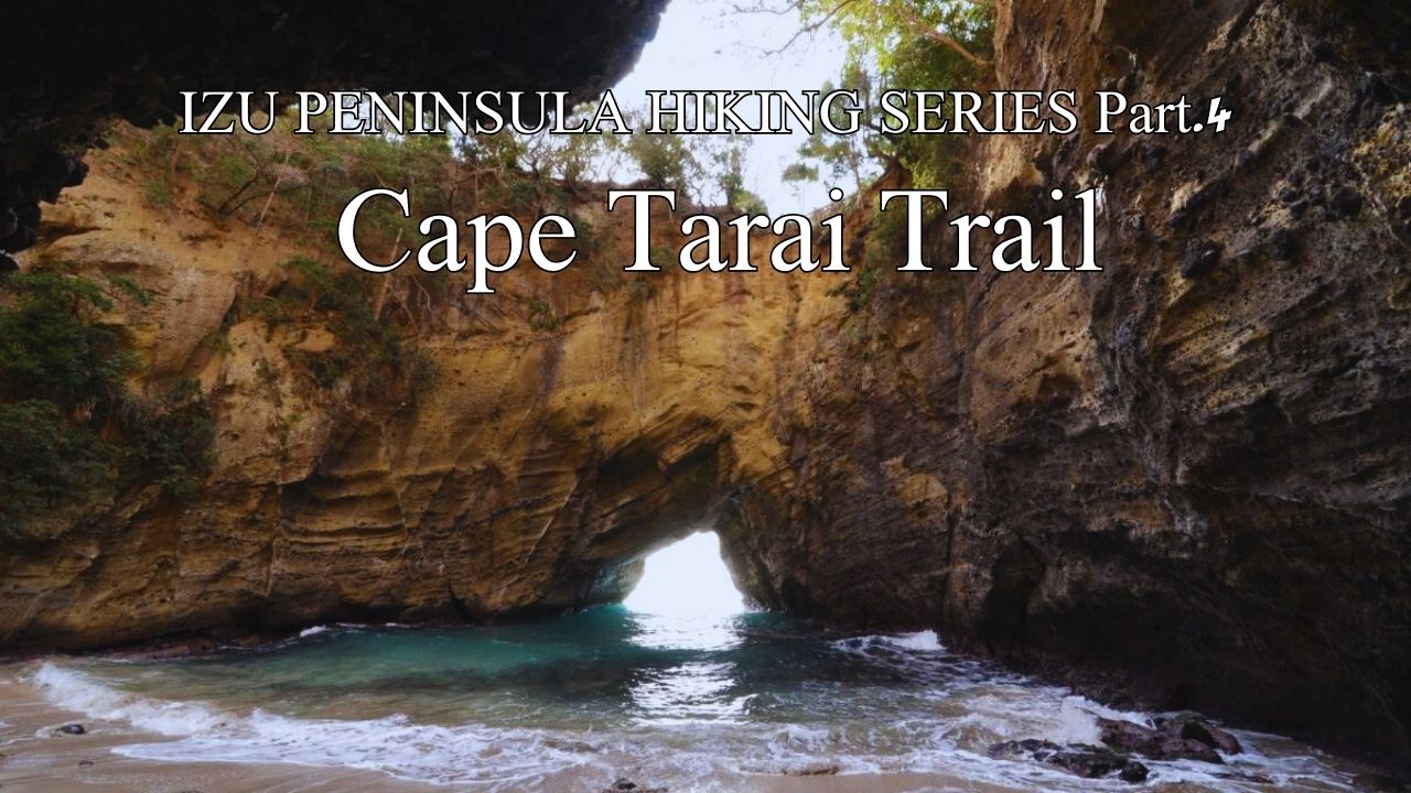
HIKE JAPAN’S IZU PENINSULA SERIES Part.4_Cape Tarai Trail (Shimoda/South Izu)
Cape Tarai Trail (Shimoda/South Izu)
HIKE JAPAN’S IZU PENINSULA SERIES
Izu Peninsula UNESCO Global Geopark
Japan’s Izu Peninsula, just 45 minutes from Tokyo by bullet train, is geographically unique in being the only part of the mainland to sit on top of the Philippine’s tectonic plate. Izu was originally an island located south of the Japanese mainland. The northward movement of the Philippine plate eventually brought the island into contact with the mainland, forming the current peninsula. Understandably, a considerable amount of volcanic activity manifests in this movement, earning Izu Peninsula UNESCO Global Geopark status.
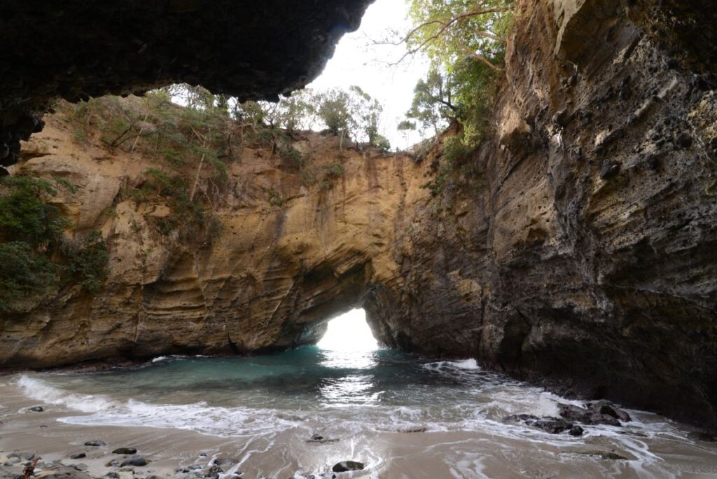
Ryugu Sea Cave
Our mighty Pacific Ocean rolling in from Sagami Bay to our east has carved out cavernous sea caves from the softer volcanic material deposited along this section of Izu Peninsula UNESCO Global Geopark. A delightful easy jaunt along varied volcanic coastlines and through quiet coastal resort villages, where one thinks “I could happily live here”. Perhaps the easiest walk in this 10-part series, suitable for families.
Train from Tokyo via Atami to Shimoda Station. Odoriko Express will get you there with one train, or you can Shinkansen to Atami (Tokaido Kodama line) and change to the local train for the 1.5 hour scenic ride down Izu’s east coast. From Shimoda Station catch the bus south and get off at Kisami bus stop on the main road. Start walking down the sign-posted side road to your left towards Kisami beach about 1km away. You are immediately rewarded with a trail along the banks of the Daikamo River under Sakura trees that are very pretty in flower in Spring. Even better, the trail soon changes into a board walk through some original mangrove forest to take you to the beach. At the beach turn right and head south, either along sandy Kisami beach (and several small stony beaches after it) or along the road. You’ll need to use the short road tunnels in a few places. Great views of the offshore Izu islands (also part of the same Fuji/Hakone/Izu National Park as our route) along the way, see if you can name them all with the assistance of the guide boards.
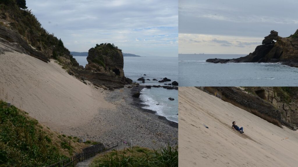
Try out the natural 30-degree sand ski slope, nearby alligator rock.
Just over a kilometre brings you to the sand skiing slope, maintained at a constant 30 degrees downhill as that is the magic limit for sand before it starts rolling downhill. You might find a small plastic sled left by previous visitors that you can use to try your hand and sledding down the slope. Adjacent to the sand slope is Ryugu Sea Cave, the most spectacular of the caves along our route today and certainly the most accessible. Take the short track down into the cave, and also the other track up and around the cave’s roof rim. As with the other caves, Ryugu was formed by the Pacific eating out chunks of the softer volcanic material, until the roof fell in creating the current open cathedral like effect.
Heading south again (our direction all day today) brings you to Toji Beach. Half way along the beach be careful not to miss the turn-off to the right for our coastal hiking trail. Stroll through the quiet lane adorned with unpretentious guest houses and unique eateries which beckon “stay for awhile”.
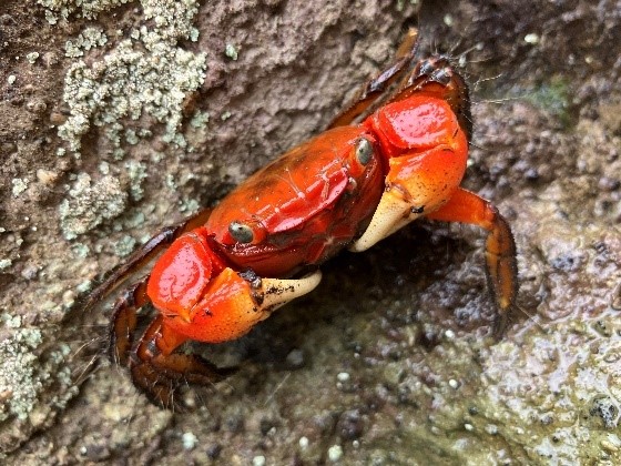
Meet some of the locals along the trail.
Gradually the small lane turns into a walking trail. Pass the memorial to 12 sailors of Jizai Maru who perished here on July 21 1945 when the US Navy sank the Japanese vessel. Apparently, hostilities had reached very close to Japan’s capital immediately prior to Hiroshima. Walk through the camelia grove, where the path is surrounded both sides with over 1,000 of the trees which are best enjoyed from February to April whilst in bloom. South of the camelia grove you’ll reach a fork, take the hard left-hand route which will lead you down a board walk through refreshing low canopy coastal forest to the sea for a walk around the rocks. Keep your eyes open for cute little bright red crabs on the side of the trail.
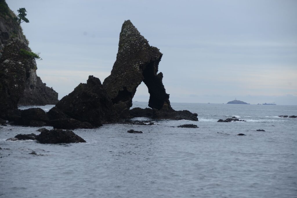
Weirdly naturally sculptured islets just off Ounohama Beach
After a little while you will emerge at Cape Tarai, which affords a 270-degree panorama of the east and south-east coast of Izu Peninsula. More fun picking out the offshore islands. Great spot for a drink break and a snack. From the Cape we head off for today’s destination, Yumigahama Beach. You are offered two alternative routes, advertised at easy and advanced level respectively. We drop down onto stony Ounohama Beach with some creatively sea-carved islets in the bay. Sparrow Rock looks like a spooky stone organ out of a horror movie, and apparently at high tide the wind plays the organ which sounds like a sparrow whistling.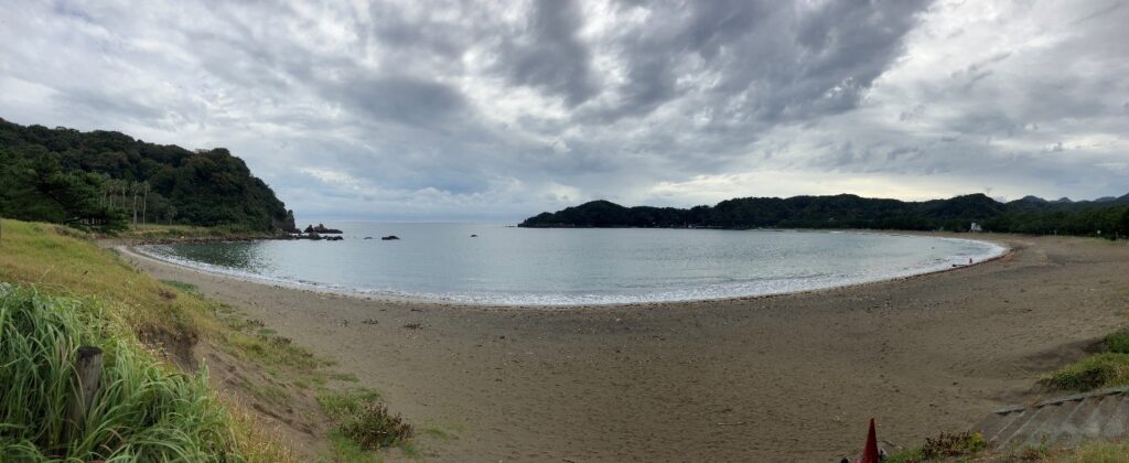
Our destination – Yumigahama Beach, meticulously cleaned.
From Ounohama Beach we follow the road a short distance through some delightful guest houses and beachfront hotels down to Yumigahama Beach. This white sand crescent-shaped beach is maintained spotlessly by local volunteers, who regularly collect the detritus of civilization regrettably washed into to any North Pacific beach these days. A well-deserved lunch is in order, so why not enjoy local Gold-Eyed snapper on the deck of one of the eating houses overlooking the beach? There is a reasonably regular bus service from Yumigahama back to Shimoda Station (takes about 30 minutes), but you will be very tempted to stop overnight here at this beautiful beach.
-e1687245296412.jpg)
A well-deserved lunch at Yumigahama Beach – local Golden Eye Snapper
Name: Cape Tarai Trail
Starting point: Kisami bus stop (about 15 minutes from Shimoda Station by bus)
Finishing point: Yumigahama Beach
Access: Izu Odoriko (JR) from Tokyo to Shimoda Station
Length: 6 kms 4 hours
Terrain: largely flat over beaches, local lanes, boardwalks, and through low-canopy coastal forest
Difficulty: Easy walking
Onsen close by: Yumigahama
Other hikes in same vicinity to make multi-day program:
